
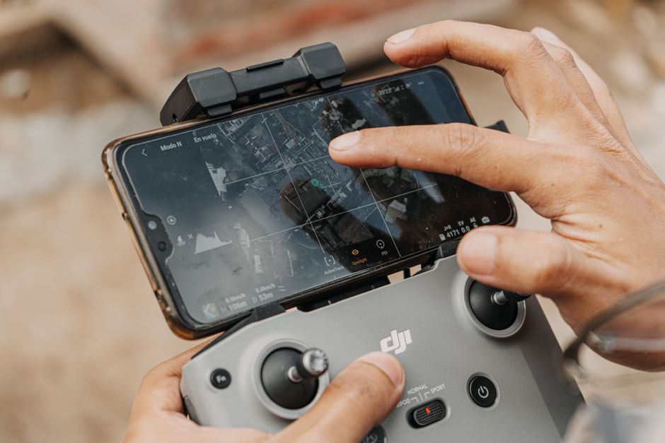
Imagine surveying a complex construction site, dense forest, or a sprawling industrial facility in minutes rather than days. This is now possible thanks to drones used for 3D mapping. These advanced aerial tools are reshaping how industries approach mapping, inspection, and security by delivering accurate, real-time data from above.
Precision and Efficiency in Mapping Projects
Speed and data accuracy stand out as two reasons companies turn to drones for 3D mapping tasks. Traditional ground-based surveying requires extensive manpower and time, especially on large or hard-to-reach terrains. Drones can cover several hectares in a single flight, generating detailed three-dimensional models with centimetre-level accuracy. This precision is essential in planning infrastructure projects, monitoring construction progress, or managing land resources efficiently.
The use of drones used for 3D mapping reduces the need to send workers into hazardous or inaccessible zones. For example, mapping steep slopes, rocky landscapes, or contaminated sites becomes safer and faster. The data captured is processed using photogrammetry software, letting teams create orthophotos, digital elevation models, and volumetric measurements without stepping onto the site themselves.
Enhancing Drone Inspection and Utility Monitoring
Drone inspection is a rapidly growing field, especially for utilities such as power lines, wind turbines, and pipelines. 3D mapping capabilities allow inspectors to view infrastructure in context, identify maintenance issues, and plan repairs before small problems escalate. By carrying payloads like high-resolution cameras and LiDAR sensors, drones create a digital twin of assets, helping engineers pinpoint defects or potential hazards with accuracy.
- Inspecting transmission towers for corrosion
- Monitoring solar farms for panel degradation
- Surveying water reservoirs for structural integrity
These applications demonstrate the value of combining mobility with high-fidelity data capture, minimizing downtime and improving asset management across industries.
Comparing UAVs and Drones in Commercial Contexts
The terms “UAV” and “drone” are often used interchangeably, but there are distinctions worth noting. UAV, or Unmanned Aerial Vehicle, refers to the aircraft itself, while “drone” commonly describes the full system, including the flight controller and sensors. In commercial settings, the focus is on reliability, flight endurance, and the ability to integrate with advanced mapping tools.
Professional solutions like Acecore’s aerial platforms are designed for rigorous industrial use. These systems offer robust flight performance, weather resistance, and the flexibility to carry different sensor packages depending on the mapping or inspection task. This versatility is especially important for projects that demand repeatable accuracy and reliable data delivery.
Improving Security and Surveillance with 3D Mapping
Security teams increasingly deploy surveillance drone technology to secure large facilities, monitor perimeters, or manage emergency response. With real-time 3D mapping, a security drone can quickly create digital layouts of an area, highlight blind spots, and even track movement. This gives decision-makers actionable intelligence to respond faster and allocate resources where they matter most.
Compared to static cameras, a drone’s ability to adjust its perspective and cover extensive ground makes it a valuable addition to modern security strategies. The combination of aerial mobility and data-rich 3D models helps organizations mitigate risks and improve situational awareness.
Where to Learn More About Commercial Drone Solutions
For teams exploring advanced mapping projects or seeking to enhance their inspection capabilities, understanding the full range of solutions is key. Detailed guides on drone security, utility inspection workflows, and the technology behind Acecore’s aerial platforms offer deeper insights into practical deployment. Reviewing case studies and technical resources can help organizations choose the right equipment for their specific needs and applications.